Our team draws on research in historical ecology to support scientific and public platforms, partnerships, and books for helping New Yorkers reimagine the city and adapt to a changing climate.
FILTER BY:
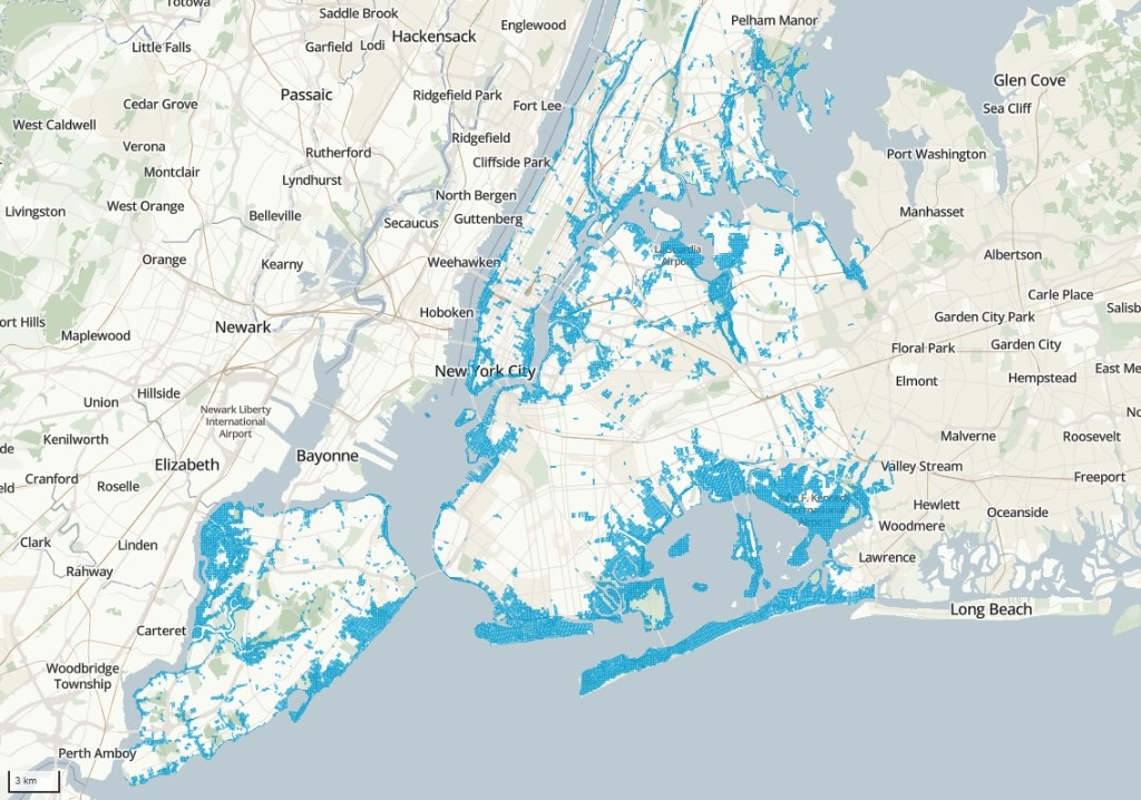
An ongoing environmental analysis of where the city used to flood, continues to flood today, and is projected to flood in the future.
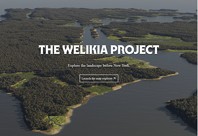
Explore the block-by-block historical landscape of New York City, as it was 400 years ago.
A book about the historical placenames of New York City, forthcoming in Fall 2026 from Abrams.
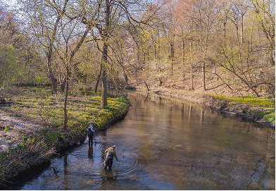
Working with local government, non-profit, and academic partners to increase the biodiversity and resilience of the Bronx River watershed.
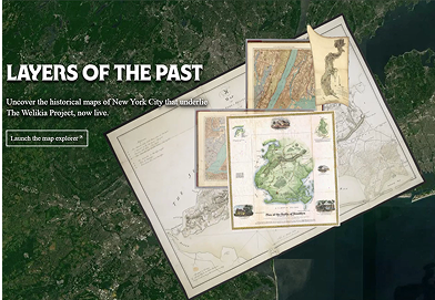
View, search and filter the nearly 200 historical maps that underlie The Welikia Project.
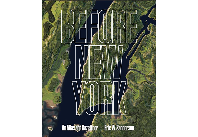
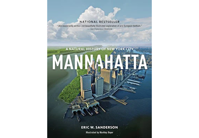
A book reconstructing the ecological history of Manhattan through period maps, archeological discoveries, and computational geography to create pictures and descriptions of Manhattan from 1609 to the present day.
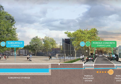
Working with the NYC Department of Environmental Protection to increase NYC's flood resilience.
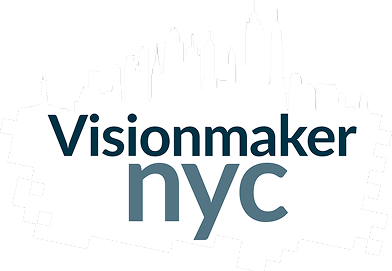
Envisioning a more biodiverse, resilient city through a digital planning platform.